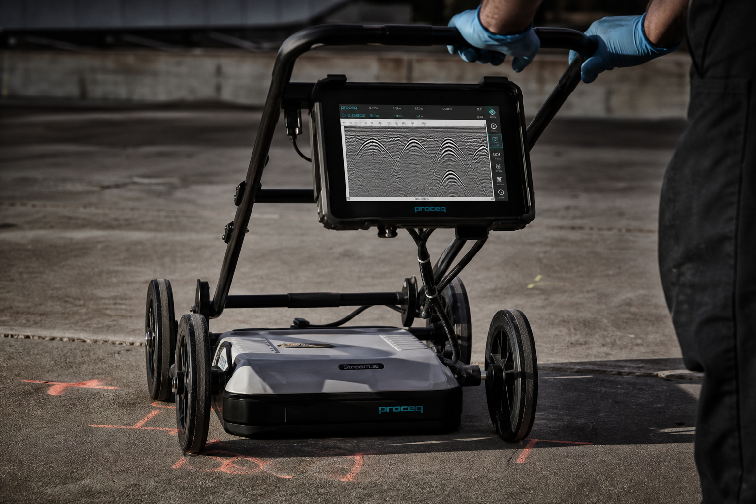
Detection, tracing and marking of underground services using electromagnetic and ground-penetrating radar, to the accuracy each site demands.
Our locators work directly on live services where safe and apply signal induction where not, capturing power, communications, gas, water, sewer and stormwater assets.
Every asset is classified and reported to AS 5488-2022, from QL-D desktop confidence through to QL-A verified position.

Engineering-grade utility survey and drafting to AS 5488-2022, delivering 12d/DWG models, BIM-ready 3D strings and GDA2020 deliverables.
Safe vacuum potholing to positively identify services and achieve the highest Quality Level (QL-A), without damaging the asset.
GPR concrete imaging before cutting, coring or drilling. Locates rebar, post-tension cables, conduits and voids. Radiation-free, no site shutdown.
Push-rod and crawler camera inspection, connectivity mapping and condition reporting for pipes up to 2 m in diameter.
USTs, concrete substructures, voids and rock seams, plus unmarked-grave, forensic and archaeological investigations.