Capabilities +
Deliverables
Locations +
Insights About LCG Main Web Site ↗ Request a Quote 1300 032 740
06 · Report

Additional Subsurface Reporting Sydney NSW

USTs, concrete substructures, voids and rock seams, plus unmarked-grave, forensic and archaeological investigations.

USTs · voids · forensic
What it is

How it works.

Detection and reporting on underground storage tanks (USTs), concrete substructures, voids and rock seams.

Specialist investigations including unmarked-grave, forensic and archaeological work.

All captured and reported to AS 5488-2022 for a defensible record of data confidence.

  • USTs & concrete substructures
  • Voids & rock seams
  • Unmarked-grave & forensic
  • Archaeological investigations
Request a Quote
Additional Subsurface Reporting in Sydney
On site in Sydney and across NSW

What to expect.

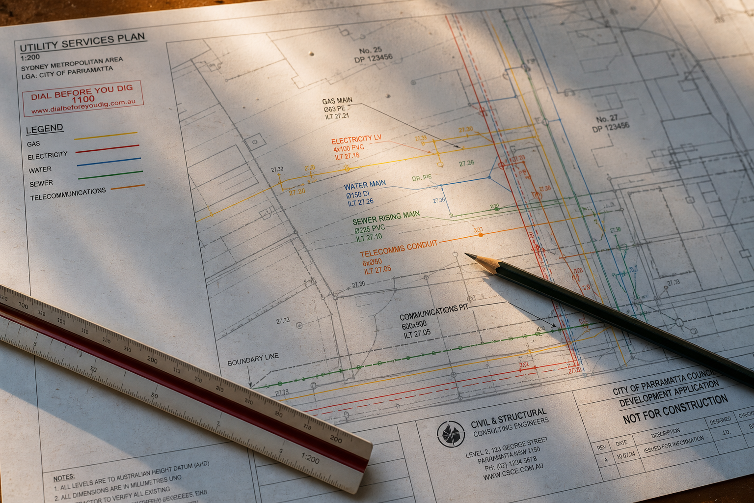
Not everything below ground is a pipe or a cable. Underground storage tanks from a former service station, the footings and basement of a demolished building, natural voids and rock seams, old wells and cisterns, and unmarked burials all change how a site can be designed and built. The same ground penetrating radar, electromagnetic and survey tools we use for utilities find and map these features, and the result is reported to AS 5488-2022 so the confidence in each finding is stated, not implied.

Underground storage tank surveys are common on redevelopment sites across Sydney and regional New South Wales, where a corner block was a petrol station decades ago. GPR shows the tank outline and its fill lines; EM confirms the steel shell; the survey fixes its position on the plan the environmental consultant and the demolition contractor will work from. Concrete substructures and old footings are mapped the same way before piling rigs mobilise.

Forensic and archaeological investigations are a specialist line of work. We assist police and coronial searches with non-invasive detection of disturbed ground, and support heritage consultants and cemetery trusts with surveys for unmarked graves and buried structures where excavation is not permitted. These investigations are reported in a form suited to the client's purpose, whether that is a court, a heritage approval or a design team.
Where we work

Additional Subsurface Reporting across New South Wales.

The same accredited crew, the same AS 5488-2022 report, from our Lindfield office to the regions. Choose your area.

Sydney metropolitan

Regional New South Wales

All service areas →

The LCG group

Design, survey and engineering under one roof

A tank, a void or an old footing changes the design. LCG Solutions provides the surveying and engineering that follows a subsurface finding, and LCG Architects the residential design where the site is a home.

FAQ

Additional Subsurface Reporting: common questions.

Can GPR find an underground storage tank?

Usually, yes. A steel or fibreglass tank gives a strong, distinct radar reflection and its fill and vent lines can be traced with EM. The survey shows the tank position, approximate size and depth of cover so the environmental assessment and removal can be planned.

How do you survey for unmarked graves?

With ground penetrating radar run on a close grid across the area, read for the disturbed ground and voids that a burial leaves, and surveyed onto a plan. Nothing is excavated. The method is used by cemetery trusts, heritage consultants and in coronial matters.

Can you find voids and rock seams before construction?

Yes. GPR and, where needed, other geophysical methods map voids, rock seams and old mine workings in the top few metres, which is often enough to decide where a footing or a bore goes. Deeper geotechnical investigation is then targeted rather than blind.

Do you provide reports for environmental consultants?

Yes. Tank and substructure surveys are delivered as a plan with coordinates, depths and photos, suited to a Preliminary or Detailed Site Investigation under the NSW contaminated land framework, and can be overlaid on the consultant's sampling plan.

Is this work reported to AS 5488-2022?

Yes. Even where the feature is not a utility, we report the detected position and its quality level the same way, so the design team knows how much weight the finding carries and what further verification would be needed.

More services

The rest of the toolkit.

01 · Locate

Utility Locating (EM & GPR)

Detection, tracing and marking of underground services using electromagnetic and ground-penetrating radar, to the accuracy each site demands.

EM · GPR · QL-A to QL-DLearn more →
02 · Survey

Utility Survey & Mapping

Engineering-grade utility survey and drafting to AS 5488-2022, delivering 12D/DWG models, BIM-ready 3D strings and GDA2020 deliverables.

12D · DWG · GDA2020 · BIMLearn more →
03 · Verify

Non-Destructive Excavation

Safe vacuum potholing to positively identify services and achieve the highest Quality Level (QL-A), without damaging the asset.

Vacuum potholing · QL-ALearn more →
04 · Scan

Concrete Scanning & Inspection

GPR concrete imaging before cutting, coring or drilling. Locates rebar, post-tension cables, conduits and voids. Radiation-free, no site shutdown.

GPR · radiation-freeLearn more →
05 · Inspect

CCTV & Drainage Investigation

Push-rod and crawler camera inspection, connectivity mapping and condition reporting for pipes up to 2 m in diameter.

Push-rod · crawler · to 2m diaLearn more →
Call us