Engineering-grade utility survey and drafting to AS 5488-2022, delivering 12D/DWG models, BIM-ready 3D strings and GDA2020 deliverables.
Engineering-grade utility survey and drafting to AS 5488-2022, delivering 12D and DWG models, BIM-ready 3D strings and GDA2020 deliverables.
LCG can provide all surveying requirements such as geospatial, boundaries and construction / engineering surveys, certified by LCG Registered Surveyors.
We translate located assets into engineering-grade data your design team can build on.

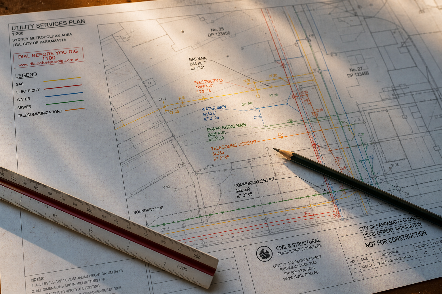
A utility survey turns marks on the ground into data your design team can build on. Once the services are located, our surveyors pick up every mark, pit, valve, pole and lid with a total station or GNSS receiver on GDA2020 and the local control, then draft the result as a 12d model, a DWG file or a BIM-ready set of 3D strings. Each string carries the AS 5488-2022 quality level, the depth, the owner and the material, so a designer can see at a glance which lines are proven and which are from records.
Because LCG is a surveying practice as well as a locating company, the utility survey and the site survey come from the same crew on the same datum. Detail and level surveys, boundary definition, construction set-out and engineering surveys are all certified by LCG Registered Surveyors, which removes the join that usually appears when a locator and a separate surveyor hand files to each other.
We work to the client's CAD standard, not ours. Transport for NSW projects are delivered to the TfNSW SUI specification and layer conventions, Sydney Water work to its drafting standard, and council and private jobs to whatever template your engineers already use. Files are georeferenced, layered by asset owner and quality level, and issued with a plan, a register and a PDF for the people on site who will never open CAD.
The same accredited crew, the same AS 5488-2022 report, from our Lindfield office to the regions. Choose your area.
Utility mapping is one part of the survey work the LCG group does. The same registered surveyors deliver 3D topographic, detail, boundary, construction and heritage surveys through LCG Solutions, on the same GDA2020 control, so the utility model and the site survey line up without a second mobilisation.
12d, DWG and DXF as standard, with 3D strings for BIM and Revit workflows, PDF plans for site use, and a spreadsheet register of every asset with its quality level, depth and owner. All data is on GDA2020 with heights to AHD unless the project control says otherwise.
A locate finds and marks services on the ground. A utility survey measures those marks and features with survey instruments and draws them into a model your engineers can design from. Paint washes off; the survey is the permanent record. Most design projects need both.
Yes. Every asset string is attributed with its quality level from QL-D to QL-A, and the plan carries the standard notes on how each level was obtained. That is what Transport for NSW, Sydney Water and most tier-one contractors specify.
Yes. LCG Registered Surveyors certify detail and level surveys, boundary and identification surveys, and construction and engineering surveys, so the utility data and the topographic data arrive on the one datum from the one firm.
A single residential or small commercial site is usually surveyed on the day of the locate and drafted within a few business days. Linear corridor work and multi-site programs are scheduled with the client and issued in stages so design can start early.
Detection, tracing and marking of underground services using electromagnetic and ground-penetrating radar, to the accuracy each site demands.
Safe vacuum potholing to positively identify services and achieve the highest Quality Level (QL-A), without damaging the asset.
GPR concrete imaging before cutting, coring or drilling. Locates rebar, post-tension cables, conduits and voids. Radiation-free, no site shutdown.
Push-rod and crawler camera inspection, connectivity mapping and condition reporting for pipes up to 2 m in diameter.
USTs, concrete substructures, voids and rock seams, plus unmarked-grave, forensic and archaeological investigations.